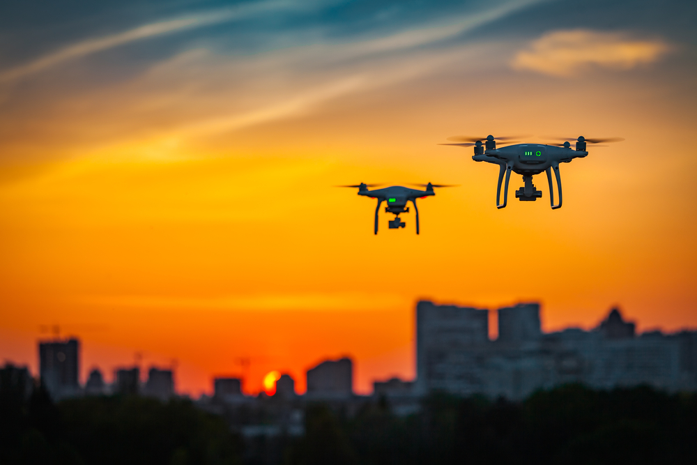
Precision agriculture has become increasingly important as farmers strive to increase efficiency and maximize yields. One of the key tools in precision agriculture is the use of unmanned aerial vehicles (UAVs), commonly referred to as drones. UAVs equipped with advanced sensors, such as thermal imaging and RTK GNSS positioning, are revolutionizing the way farmers gather data on their crops.

One such drone is the XENA drone, which is capable of combining thermal imaging and RTK GNSS high precision positioning. The use of thermal imaging allows farmers to detect areas of crops that are experiencing stress due to differences in temperature. This information can then be used to adjust irrigation levels or apply pesticide and fertilizer more precisely, ultimately leading to higher yields.
The RTK GNSS positioning system provides highly accurate location data, which is necessary for creating accurate maps of crop coverage and identifying areas that need attention. This data can then be used to create detailed reports on crop health and yield potential.
In addition to thermal imaging and RTK GNSS, other sensors commonly used in precision agriculture include multispectral and hyperspectral sensors. These sensors can detect variations in light reflectance, which can be used to identify areas of crops that are experiencing stress or are in need of nutrient application.
Overall, the use of UAVs equipped with advanced sensors is revolutionizing agriculture, allowing farmers to gather highly accurate data on their crops and make more informed decisions. As technology continues to improve, the possibilities for precision agriculture are endless.